Victoria Severe Weather: Melbourne Flash Flood Warnings
Heavy rain and severe thunderstorms across Victoria have prompted significant flood alerts, with authorities urging community preparedness for dangerous road conditions.

Severe Weather Warning Issued as Victorian Storm Systems Move South
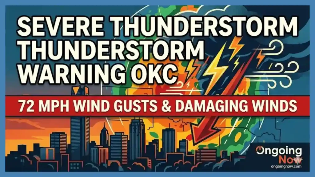
The Bureau of Meteorology (BOM) has issued a formal Severe Weather Warning for heavy rainfall and potential flash flood warnings today across a broad swathe of Victoria. This alert covers the Central, North Central, and Gippsland districts, specifically identifying Greater Melbourne, Geelong, and the fire-affected regions as high-risk areas. Forecasters have observed a moist and unstable air mass colliding with a slow-moving trough, creating conditions conducive to intense, short-duration downpours.
As of Tuesday, February 24, 2026, the Victoria State Emergency Service (VICSES) has already responded to approximately 250 requests for assistance, largely concentrated in the Hume region following localized impacts in Wodonga. The current system is expected to intensify during the afternoon and evening hours. Senior Meteorologists from the Bureau of Meteorology indicate that six-hourly rainfall totals between 30mm and 60mm are likely, with isolated peaks reaching up to 70mm near the ranges.
The primary concern for the Victoria emergency alerts live updates is the speed at which urban catchments can respond to this intensity of rain. Areas with high proportions of impervious surfaces, such as Preston, Reservoir, and Camberwell, are particularly susceptible to rapid runoff. Residents in these suburbs are advised to monitor the latest official advice as storm cells move through the metropolitan corridor.
Key Forecast Data and Rainfall Probabilities
The following table outlines the anticipated impacts based on current high-resolution meteorological models, including the ECMWF and ACCESS-C systems.
| Region | Expected 6-Hour Rainfall | High-Risk Window | Primary Threat |
| Greater Melbourne | 40–70 mm | 3:00 PM – 11:00 PM | Urban flash flooding |
| Geelong & Surf Coast | 30–50 mm | 2:00 PM – 9:00 PM | Roadway inundation |
| Central Highlands | 50–70 mm | 4:00 PM – Midnight | Landslides in burnt areas |
| Gippsland Districts | 30–60 mm | 6:00 PM – Wednesday AM | Catchment rises |
Analyzing Localized Impacts: From Geelong to the Northern Suburbs
A detailed Geelong storm path tracker indicates that the leading edge of the storm band is moving in a south-easterly direction. While the initial impacts may be felt as localized wind gusts and lightning, the embedded moisture is the primary driver for public safety concerns. In the northern suburbs of Melbourne, particularly around Preston and Reservoir, the historical vulnerability of local drainage systems means even minor blockages can lead to significant water over roads.
In the 48 hours leading up to this update, localized Preston weather warning notices have highlighted the risk of “backwater” flooding, where stormwater systems are unable to discharge into the already swollen Merri Creek and Darebin Creek catchments. The Gippsland storm cell movements are also being monitored closely, as the system is expected to track over regions still recovering from recent bushfire events.
“Flash flooding happens fast. Roads can become very dangerous very quickly. It’s deeper than it looks,” warned Josh Gamble, a spokesperson for the Victoria State Emergency Service. “Low-lying and creekside communities should be on alert, particularly those in known flash flood areas in and around Melbourne.”
The situation in Reservoir thunderstorm damage assessments from previous years serves as a reminder of how quickly small-scale cells can cause significant property damage. VICSES recommends that residents secure loose outdoor items and clear gutters where it is safe to do so before the heaviest rain arrives.
Understanding the Tech: Why Is BOM Radar Not Updating?
During severe weather events, many residents ask, “Why is BOM radar not updating?” Frequent refreshes of the Laverton radar station status and the Olympic Park site are critical for real-time tracking. While the Melbourne radar maintenance schedule is typically planned for clear-weather windows, technical outages can occur due to power fluctuations or hardware stress during intense lightning activity.
Technical Drivers of Radar Discrepancies
Weather radar beam blockage: Physical obstructions or atmospheric conditions can sometimes prevent the radar beam from “seeing” low-level rain behind hills or buildings.
BOM app temperature discrepancy: Users may notice a difference between the app’s predicted temperature and their own home weather stations. This is often due to the location of official stations at airports or open parks versus urban “heat islands.”
Maintenance Downtime: The BOM radar downtime explanation usually involves critical calibration or part replacements necessary to maintain the long-term accuracy of the Doppler system.
Understanding how weather radar works is essential for interpreting the colorful “blobs” seen on a screen. The radar sends out electromagnetic pulses that bounce off raindrops; the time it takes for the pulse to return determines the distance, while the strength of the return indicates the Camberwell rain intensity or hail size.
For those seeking alternatives when the official site is slow, top Australian weather apps 2026 like WillyWeather, Weatherzone, and Windy.com often use the same raw data but may offer different visualization layers. A WillyWeather radar comparison reveals that while the data source is the same, the smoothing algorithms can sometimes make rain appear more or less intense than it is.
Science and Drivers: The Meteorology Behind the Deluge
The current weather event is driven by a deep low-pressure system interacting with high sea-surface temperatures in the Tasman Sea. This provides a “fuel source” of moisture that is then lifted by the cold front moving across the state. In a broader climate trend analysis, meteorologists note that while the Pacific Ocean is in a decaying La Niña phase, the Madden-Julian Oscillation (MJO) and the Southern Annular Mode (SAM) remain dominant drivers of Victorian rainfall patterns this season.
Angus Hines, a senior meteorologist, noted that “rainfall accumulating over the past several days has brought the risk of flash and riverine flooding.” This cumulative effect is vital: the soil is already nearing saturation in parts of central Victoria, meaning that additional rain will likely become runoff rather than soaking into the ground.
In the context of the Laverton radar station status, it is functioning as the primary tool for identifying the “convective core” of these storms. These cores are where the most intense rainfall occurs, often dumping 20–30mm in less than an hour, which is the specific threshold for the Melbourne flash flood warnings today.
Safety Guidance: Navigating Victoria’s Severe Weather
Public safety is the priority during the current BOM severe weather update Victoria. The primary hazard during flash flooding is the crossing of flooded roadways. Just 15cm of moving water can float a small car, and once a vehicle loses contact with the road surface, the driver loses control.
Pre-Storm Checklist for Residents
Monitor the VicEmergency App: This is the primary source for Victoria emergency alerts live.
Check Local Drain Grates: If safe, ensure they are clear of leaves and debris.
Avoid Burnt Areas: If traveling through Gippsland or the Central Highlands, be aware that “burnt land does not absorb water effectively,” leading to rapid debris flows.
Review the Melbourne Radar: Use the Laverton radar station data to time your commute before the heaviest cells arrive.
For those comparing services, a Weatherzone vs BOM app review suggests that while Weatherzone provides more granular alerts for specific lightning strikes, the Bureau of Meteorology remains the only agency authorized to issue official government warnings. Windy.com Melbourne wind map data is excellent for visualizing the “gust front” that often precedes the rain, helping residents predict when to move sensitive equipment indoors.
Historical Context: How 2026 Compares to Recent Extremes
While the current rainfall is significant, it is being compared by analysts to the February 2024 Victorian storms. During that event, over 4,000 requests for assistance were logged within 48 hours, and large-scale power outages affected the Monash and Gippsland regions. The 2026 system shares similarities in terms of moisture availability but is moving slightly faster, which may reduce the risk of the multi-day “soaking” that leads to major riverine flooding.
However, the risk to suburbs like Preston and Camberwell remains high due to the urban heat island effect, which can sometimes “energize” passing storm cells, increasing the Camberwell rain intensity compared to surrounding rural areas. Bureau of Meteorology technical support teams are currently monitoring all stations to ensure that data flows remain consistent during the peak of the event.
For residents looking for local weather station alternatives, many now rely on Zoom Earth Melbourne real time satellite imagery or private weather services Victoria to supplement official data. These can provide a “street-level” view of conditions, though they lack the calibrated accuracy of official BOM equipment.
Stay sharp with Ongoing Now!
Related Coverage:
Source and Data Limitations: This report is based on data provided by the Bureau of Meteorology (BOM) as of February 24, 2026, 1:50 PM AEDT. Localized rainfall totals are subject to high variability during convective thunderstorm events. Radar data may be subject to “clutter” or atmospheric interference. Historical comparisons are based on VICSES and Emergency Recovery Victoria (ERV) archives from 2024 and 2025. All safety advice is sourced from official VicEmergency and CFA protocols. Forecasts beyond 48 hours involve increased uncertainty and should be verified with daily updates.