How Bombogenesis Creates a Massive Bomb Cyclone
A meteorological guide to the bomb cyclone, rapid intensification, and how 24 millibars in 24 hours defines these storms.
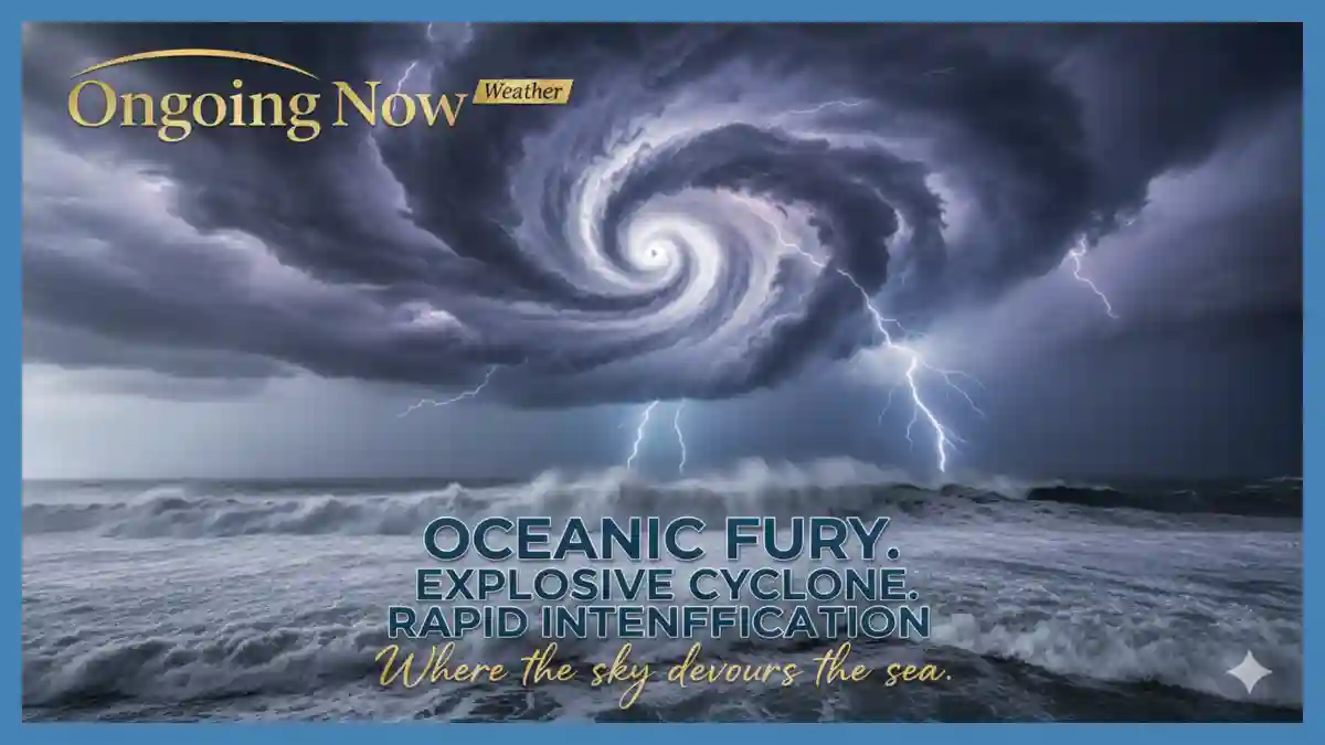
The phenomenon known as a bomb cyclone represents one of the most powerful displays of atmospheric energy in the mid-latitudes. Defined by a process called bombogenesis, these systems undergo rapid intensification where the central low pressure system mechanics result in an atmospheric pressure drop of at least 24 millibars in 24 hours. This winter storm development science is critical for maritime safety and coastal preparedness, as the resulting snowstorm can transition quickly from a standard low to a meteorological bomb. Understanding the nor’easter vs blizzard distinction is essential, as a bomb cyclone often dictates the severity of both, driven by complex how bomb cyclones form dynamics.
The Scientific Definition of a Meteorological Bomb
In the professional meteorological community, the term “bomb” is not a colloquialism but a specific classification based on the rate of intensification. The American Meteorological Society (AMS) and the National Oceanic and Atmospheric Administration (NOAA) define a bomb cyclone as a mid-latitude cyclone that experiences a pressure drop of at least 24 millibars over a 24-hour period. This process, scientifically labeled as bombogenesis, typically occurs when a cold air mass from the Arctic collides with warm, moist air over ocean currents like the Gulf Stream.
This interaction creates a volatile environment where the air begins to rise rapidly. As the air rises, it creates a vacuum effect at the surface, which must be filled by surrounding air. If the upper-level winds—specifically the jet stream—are positioned to “vent” this rising air faster than it can be replaced at the surface, the central pressure plummets. This is the core of low pressure system mechanics that leads to rapid intensification.
“The term ‘bombogenesis’ refers specifically to the speed of the pressure drop, not the absolute pressure itself,” notes the National Weather Service (NWS) Ocean Prediction Center. “While many intense cyclones exist, only those meeting the 24 millibars in 24 hours threshold earn the designation of a meteorological bomb.”
Understanding the 24 Millibars in 24 Hours Threshold
The metric of 24 millibars in 24 hours is often referred to as “the Bergeron,” named after Tor Bergeron, a pioneer in modern meteorology who helped define these explosive developments. It is important to note that this threshold is technically latitude-dependent. Because the Coriolis effect—the force that deflects moving air due to Earth’s rotation—varies by latitude, a storm at 60°N requires a larger pressure drop to be classified as a bomb cyclone than one at 25°N.
When a low pressure system undergoes this rapid intensification, the pressure gradient (the difference in pressure between the center of the storm and its surroundings) becomes extremely steep. This gradient is what drives wind speed. The tighter the isobars (lines of equal pressure) on a weather map, the more powerful the sustained winds and gusts will be.
| Pressure Drop Rate | Classification | Typical Wind Impact |
| < 12 mb / 24 hrs | Standard Development | 20–40 mph gusts |
| 12–24 mb / 24 hrs | Rapid Development | 40–60 mph gusts |
| > 24 mb / 24 hrs | Bombogenesis | 60–95+ mph gusts |
How Bomb Cyclones Form: The Role of the Jet Stream
To understand how bomb cyclones form, one must look 30,000 feet into the atmosphere at the polar jet stream. A bomb cyclone requires a specific alignment between the lower atmosphere and the upper-level “river of air.” When a strong disturbance in the jet stream, known as a trough, moves over a developing surface low, it provides the “exhaust” needed for the storm to intensify.
The process is often compared to a chimney. If the chimney (the jet stream) has a strong draft, it pulls smoke (rising air) out of the fireplace (the surface low) more efficiently. This allows the fire to burn more intensely. In winter storm development science, this “draft” is created by strong temperature contrasts, or baroclinic instability.
When the temperature difference between two air masses is extreme, the potential energy is converted into kinetic energy—wind. This is why rapid intensification is most common during the late autumn and winter months, when cold continental air masses from Canada or Siberia meet the relatively warm waters of the Atlantic or Pacific Oceans.
Analyzing Rapid Intensification and Surface Impacts
The transition into a meteorological bomb carries significant implications for regional weather. Because the intensification happens so quickly, traditional forecasting models sometimes struggle with the exact “pivot” point where the storm achieves its maximum strength. This is why meteorologists at the European Centre for Medium-Range Weather Forecasts (ECMWF) and the National Centers for Environmental Prediction (NCEP) closely monitor satellite water vapor imagery to identify the “dry slot” of air that often wraps into a developing bomb cyclone.
The atmospheric pressure drop during a snowstorm not only increases wind speeds but also enhances precipitation rates. The intense rising motion (convection) can lead to “thundersnow,” where lightning occurs within a winter system. For coastal regions, the low pressure acts like a vacuum, physically pulling the ocean surface upward, which, combined with hurricane-force winds, leads to significant storm surges and coastal flooding.
“Rapid intensification is a challenge for emergency management because it can turn a manageable rain or snow event into a high-impact hazard in less than a day,” explains Dr. Rick Knabb, a former Director of the National Hurricane Center.
Navigating the Nor’easter vs Blizzard Distinction
In the context of a bomb cyclone, the terms nor’easter vs blizzard are frequently used, but they describe different aspects of the storm. A nor’easter is a type of storm defined by its wind direction (blowing from the northeast) and its location along the East Coast of North America. Many nor’easters undergo bombogenesis, but not all do.
Conversely, a blizzard is defined by visibility and wind, not by the amount of snow or the pressure of the storm. According to the NWS, a blizzard requires winds of at least 35 mph and visibility reduced to less than one-quarter mile for at least three consecutive hours. A bomb cyclone often creates the pressure gradient necessary to sustain these blizzard conditions over a wide area, especially when the winter storm development science involves a deep low pressure system.
Nor’easter: Defined by wind direction and coastal track.
Blizzard: Defined by visibility ($\le 0.25$ miles) and wind ($\ge 35$ mph).
Bomb Cyclone: Defined by the rate of pressure drop ($24$ mb in $24$ hours).
Low Pressure System Mechanics and Winter Storm Science
The physics behind a low pressure system becoming a “bomb” involves the conservation of angular momentum. As the air rushes toward the center of the plummeting pressure, it begins to spin faster, much like an ice skater pulling their arms in during a spin. This creates a tight, intense core of winds.
In a snowstorm, this mechanical energy manifests as “bomb-induced” snowfall rates, sometimes exceeding 3 inches per hour. The atmospheric pressure drop also affects the structure of the storm’s clouds. Satellite imagery of a bomb cyclone often reveals a distinct “comma-head” shape, with a well-defined center that can occasionally resemble the eye of a hurricane.
However, unlike hurricanes, which are “warm-core” systems fueled by warm ocean water, bomb cyclones are “cold-core” systems fueled by temperature contrasts. This allows them to maintain their intensity even over land or in much colder environments than a tropical cyclone could survive.
Safety, Preparedness, and Economic Impact
The human-centric aspect of rapid intensification cannot be overstated. When a storm undergoes bombogenesis, the window for preparation narrows. For the maritime industry, these storms can generate “rogue waves” and sea states that exceed 50 feet. For inland communities, the primary risks include widespread power outages due to the combination of heavy, wet snow and high winds.
Infrastructure and Community Resilience
Power Grids: The high wind speeds associated with a meteorological bomb often lead to tree failures, which are the primary cause of grid instability during winter storms.
Transportation: Aviation and ground transport are typically halted due to the blizzard conditions often spawned by these systems.
Coastal Protection: Erosion from storm surges can permanently alter shorelines during a single 24-hour intensification period.
“Community preparedness must account for the speed of these events,” says a spokesperson for the Federal Emergency Management Agency (FEMA). “A storm that looks minor on a Monday can become a bomb cyclone by Tuesday, requiring residents to have kits and plans ready well in advance.”
Historical Context and Climate Trends
While bomb cyclones are a natural part of Earth’s climate system, researchers at institutions like the Woodwell Climate Research Center are investigating how a warming planet influences winter storm development science. A warmer atmosphere holds more moisture, which provides more latent heat—essentially fuel—for a developing low pressure system.
Historical events, such as the “Blizzard of ’93” or the “1991 Perfect Storm,” serve as benchmarks for bombogenesis. These storms achieved pressure drops far exceeding the 24 millibars in 24 hours criteria, with some reaching drops of 40 or 50 millibars. By comparing current satellite and barometric data to these historical records, meteorologists can better predict the potential for catastrophic impacts.
Analysis: Why the Pressure Drop Matters
The focus on the atmospheric pressure drop is not merely for academic classification. It is a direct proxy for the amount of work the atmosphere is doing to redistribute energy. A storm that drops 24 millibars in a day is moving a massive amount of air, creating a deep “valley” in the atmosphere. The steeper the walls of that valley, the faster the air must rush down to the bottom, resulting in the destructive winds we observe at the surface.
From an analytical perspective, the presence of rapid intensification serves as a red flag for forecasters. It indicates that the atmospheric “engine” is running at maximum efficiency. For the public, recognizing the term bomb cyclone should serve as a signal to finalize safety preparations, as the weather conditions are likely to deteriorate much faster than in a typical storm system.
Summary of Key Forecast Data
When tracking a potential bomb cyclone, meteorologists prioritize several key data points to determine the likelihood of bombogenesis:
Central Pressure Trend: Monitoring millibar changes every 3–6 hours.
Sea Surface Temperatures (SST): Identifying regions of warm water that could fuel intensification.
Upper-Level Divergence: Using GFS and ECMWF models to locate areas where the jet stream is pulling air upward.
Vorticity: Measuring the “spin” in the atmosphere that precedes the formation of a meteorological bomb.
By understanding the science of how bomb cyclones form, from the low pressure system mechanics to the 24 millibars in 24 hours benchmark, we can better appreciate the complexity of our atmosphere and the importance of rigorous, data-driven forecasting.
Stay sharp with Ongoing Now!
Related Coverage:
Source and Data Limitations: This report is based on established meteorological definitions provided by the National Oceanic and Atmospheric Administration (NOAA) and the American Meteorological Society (AMS). Forecast parameters and the “24 millibars in 24 hours” threshold are standard scientific benchmarks. Data regarding specific historical storms are sourced from the National Centers for Environmental Information (NCEI). While the physics of bombogenesis are well-understood, individual storm tracks and the exact timing of rapid intensification are subject to model uncertainty and real-time atmospheric variability. This article does not serve as a live weather warning; readers should consult the National Weather Service or local authorities for active emergency advisories.