Blizzard Warning: Why These Three Criteria Matter
A comprehensive guide to the meteorological thresholds, safety protocols, and science behind a blizzard warning.
Understanding the Criteria of a Blizzard Warning
The issuance of a blizzard warning by the National Weather Service (NWS) signifies a transition from general winter weather to a life-safety event defined by specific physical criteria. To trigger this alert, forecasters must observe or expect sustained winds or frequent gusts of 35 mph or greater, accompanied by falling or blowing snow that reduces visibility to less than one-quarter mile for at least three consecutive hours. Understanding these thresholds is critical for community preparedness, as the primary danger often stems from the combination of restricted visibility and extreme wind chill rather than snow accumulation totals alone.
The Meteorological Anatomy of a Blizzard Warning
A blizzard warning is not a measure of how much snow falls, but rather how the wind and snow interact to create hazardous surface conditions. According to the National Oceanic and Atmospheric Administration (NOAA), many people mistakenly associate the term with heavy accumulation. However, a “ground blizzard” can occur with no new snowfall if existing snowpack is dry and loose enough to be lofted by high-velocity winds.
Meteorologists at the Storm Prediction Center (SPC) and local Weather Forecast Offices (WFO) utilize a suite of tools to determine if a warning is necessary. These include Automated Surface Observing Systems (ASOS) to track horizontal visibility and Doppler radar to assess precipitation rates. When the GFS (Global Forecast System) and ECMWF (European Centre for Medium-Range Weather Forecasts) models align on a deep surface low-pressure system, the tightening pressure gradient often provides the wind energy required to meet blizzard criteria.
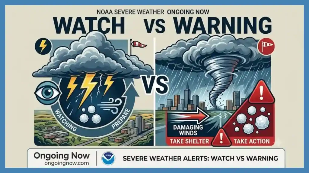
The distinction between a Winter Storm Warning and a blizzard warning is narrow but significant. The former focuses on heavy snow or ice totals that make travel difficult. The latter indicates that travel will likely become impossible or life-threatening due to whiteout conditions.
Analysis: Why the Three-Hour Threshold Matters
In the world of professional meteorology, the “three-hour rule” is a standard of consistency. Brief gusts or localized bursts of snow—often referred to as snow squalls—do not qualify for a blizzard warning. The duration requirement ensures that the alert is reserved for sustained, large-scale atmospheric events that overwhelm infrastructure.
“The duration is what turns a manageable snow event into a crisis for emergency responders,” notes the NWS in its dynamic weather glossary. When visibility remains below a quarter-mile for several hours, the spatial disorientation for drivers and pedestrians becomes absolute. This timeframe also marks the point where mechanical snow removal often becomes ineffective, as the wind refills plowed paths faster than equipment can clear them.
Key Forecast Data: Blizzard vs. Winter Storm
The following table outlines the technical differences used by the National Weather Service to categorize severe winter events:
| Feature | Winter Storm Warning | Blizzard Warning |
| Sustained Wind/Gusts | Variable; usually < 35 mph | 35 mph or greater |
| Visibility | Frequently > 1/4 mile | 1/4 mile or less |
| Duration | No specific time limit | 3 consecutive hours or more |
| Primary Risk | Accumulation/Slick roads | Whiteout conditions/Wind chill |
| Snowfall Amount | Typically 6″+ in 12 hours | Any amount (or blowing snow) |
Regional Impacts and Human Safety Dynamics
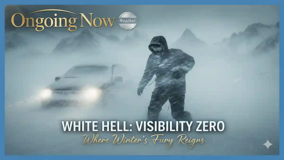
When a blizzard warning is active, the human-centric focus shifts immediately to the “stay in place” philosophy. Societal impacts are widespread, ranging from the total suspension of regional air travel to the closure of interstate highways. Unlike rain or standard snow, blizzard conditions can lead to “whiteouts,” where the horizon disappears and the sky and ground blend into a single, featureless void.
The economic impact is also substantial. Retail supply chains often freeze, and power utilities brace for “line gallop”—a phenomenon where high winds cause power lines to oscillate violently, leading to structural failure or short circuits. For rural communities, a blizzard warning can mean several days of isolation, necessitating a reliance on home heating reserves and stored food.
Safety experts emphasize that the greatest danger during these events is often the temptation to leave a stranded vehicle. In a true blizzard, disorientation happens within seconds of exiting a car, and the risk of hypothermia is accelerated by the wind chill factor, which strips body heat at an exponential rate.
Atmospheric Drivers Behind Severe Alerts
The development of a blizzard warning typically requires a specific synoptic-scale setup. Usually, this involves a powerful mid-latitude cyclone. As the central pressure of the storm drops—a process known as cyclogenesis—the pressure gradient between the storm’s center and the surrounding high-pressure air masses steepens.
This gradient is the engine for the 35+ mph winds. On the “backside” of the low-pressure system, cold air is pulled down from arctic regions. This air is typically very dry, leading to “light and fluffy” snow with a high snow-to-liquid ratio (often 20:1 or higher). This type of snow is easily transported by wind, making it the perfect fuel for a sustained blizzard.
Cold Air Advection: The movement of cold air into a warmer region, densifying the atmosphere.
Vorticity: The “spin” in the atmosphere that enhances rising motion and precipitation.
Jet Stream Dynamics: A strong polar jet stream provides the exhaust mechanism for the surface storm to intensify.
Historical Context: Lessons from Past Blizzards
To understand the gravity of a blizzard warning, one can look at the “Children’s Blizzard” of 1888 or the “Great Blizzard of 1978.” These events are studied not just for their snowfall, but for the rapid onset of life-threatening conditions. In 1978, the Ohio Valley and New England saw barometric pressures drop to levels usually reserved for Category 2 hurricanes, resulting in winds that topped 70 mph.
In the modern era, improved satellite imagery from the GOES-R series (Geostationary Operational Environmental Satellite) allows the NWS to issue a blizzard warning with much greater lead time. However, despite better technology, the physical reality of the wind and snow remains unchanged. Comparing current models to the “Superstorm of 1993” helps meteorologists calibrate their expectations for how modern infrastructure—such as power grids and high-speed rail—will hold up under similar stress.
What the Models Show: Predicting the Unpredictable
Forecasting a blizzard warning involves a delicate balance of variables. The GFS model might suggest heavy precipitation, while the European (ECMWF) model might suggest higher wind speeds. Forecasters look for “ensemble agreement,” where multiple runs of a model show a similar path and intensity.
“Predicting the exact ‘pivot’ of a winter storm—the area where the heaviest snow and strongest winds overlap—is one of the most challenging tasks in meteorology,” says a spokesperson for the World Meteorological Organization (WMO). Even a 50-mile shift in the storm’s track can mean the difference between a blizzard warning and a rainy afternoon for a major metropolitan area.
Final Preparedness: Responding to a Warning
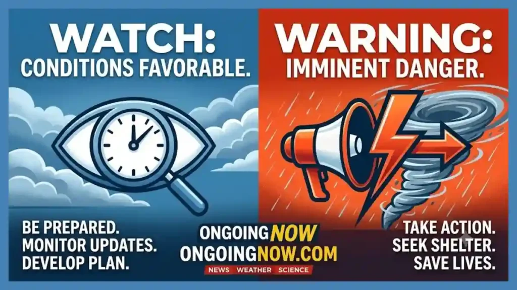
If a blizzard warning is issued for your area, the window for preparation has effectively closed. The following steps are recommended by the Federal Emergency Management Agency (FEMA) and the Red Cross:
Immediate Shelter: Avoid all travel. If you are on the road when the warning is issued, find the nearest safe building and remain there.
Emergency Supplies: Ensure you have a 72-hour kit that includes flashlights, batteries, and a battery-powered radio to monitor updates from the NOAA Weather Radio.
Heat Safety: If using a generator or space heater, ensure proper ventilation to prevent carbon monoxide poisoning, a leading cause of death during post-blizzard power outages.
Animal Care: Bring livestock and pets into sheltered areas. Their ability to regulate body temperature is severely compromised in 35 mph winds.
A blizzard warning is a high-threshold alert for a reason. By respecting the scientific criteria and the danger it represents, individuals can make informed decisions that prioritize safety over convenience.
Stay sharp with Ongoing Now!
Related Coverage:
Polar Vortex Split Map 2026 Reveals Arctic Cold Rise
London February Rain Forecast 2026: A Two-Week Outlook
Source and Data Limitations: This report is based on established meteorological criteria defined by the National Weather Service (NWS) and the National Oceanic and Atmospheric Administration (NOAA). Technical thresholds for blizzard conditions (35 mph winds, <1/4 mile visibility, 3-hour duration) are standardized across North American forecasting agencies but may vary slightly in international contexts (e.g., Environment Canada). Model data referenced includes the GFS and ECMWF, which are updated every 6 to 12 hours; however, specific local forecasts can change rapidly based on real-time mesoscale developments. Historical comparisons are based on peer-reviewed meteorological archives. This article does not constitute a live weather alert; readers should consult their local WFO or official government mobile apps for real-time, location-specific warnings and emergency instructions.